| |
|
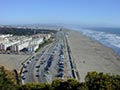
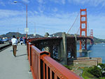
A view on the bridge form Fort Miley 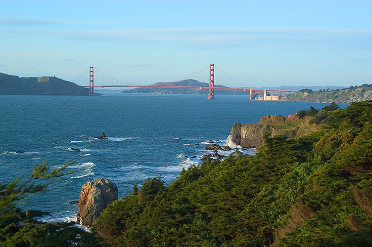
.
.
|
|
| |
|
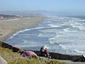
Fort Miley is located at the rocky north-west corner of San Francisco peninsula where surf have not finished its job of leveling cliffs to the beach. Follow the trail from the parking lot at Camino del Mar and make a little tour around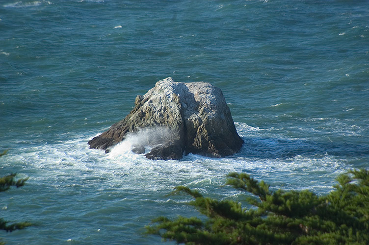
| |
|
Start Java Virtual Tour here: |
 |
|
|
| |
|
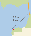
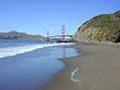
Golden Gate Bridge panorama. Colossal ocean waves make the surrounding rocks miserable, but just look at people standing at the Lands End to feel the size. Golden Gate Bridge is 2.6 miles (4 km). 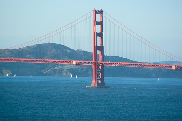
| |
|
Start Java Virtual Tour here: |
 |
.
.
|
|
| |
|
Another panoramic view
| |
|
Start Java Virtual Tour here: |
 |
|
|
| |
|
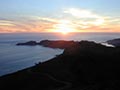
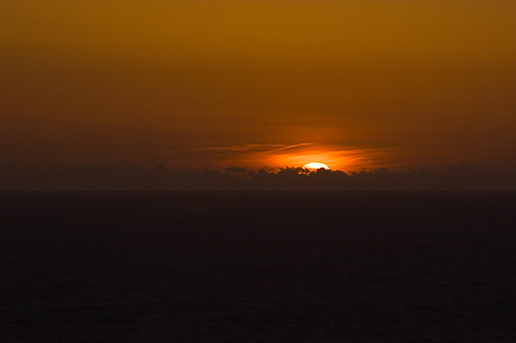
Sunset
|
|
Copyright©2005 Yes San Francisco, LLC. All rights reserved.
Copying of images, or their parts, or any other content is prohibited.